

I have another Mallee trip planned in early November with my base camp being at Murrayville. So I took the opportunity whilst traveling along the Calder Highway between Ouyen and Mildura to rendezvous with Judith Crispin to go to Lajamanu in the northern Tanami Desert to do a little exploring and photographic scoping. As I hadn’t been on the Calder Highway before so I was interested in seeing what this part of the Mallee had to offer re my approach to photographing the Mallee.
The Calder Highway, I discovered, runs through Mallee country that includes the Murray Sunset National Park and the Hattah Kulkyne National Park. Though I didn’t have the time to explore either of these national parks, I did briefly walk around the Hattah Kulkyne park. It is typical mallee country with extensive low scrub and open native woodland:
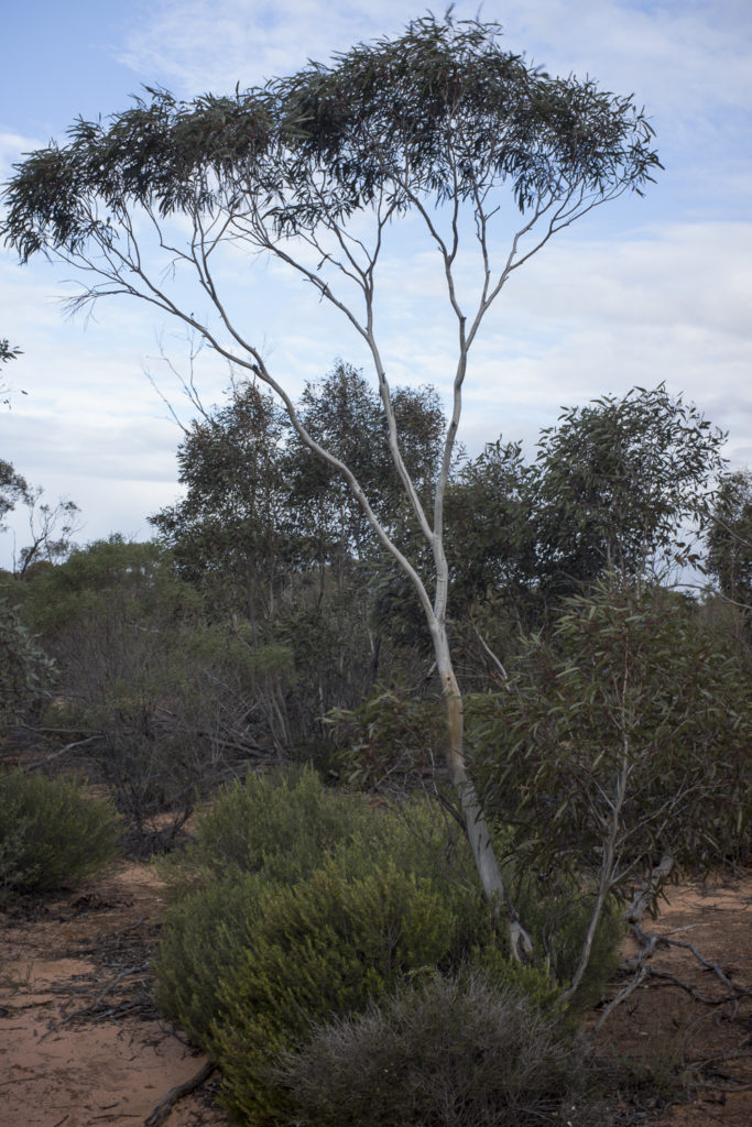
Though I was wandering around at a good time–there was the soft late afternoon light—I still struggled to photograph this landscape. The low scrub is so messy.
Further along the Calder Highway towards the regional town of Mildura I came across some silos on a railway line at Carwarp. I was surprised by the size of the site, given that Carwarp did not appear to a town or a hamlet. It was just this silo complex.
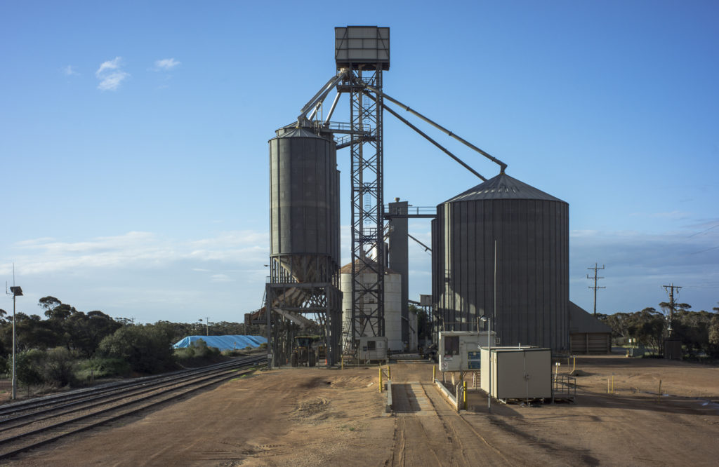 The silo site didn’t have that historical-decay look nor did it appear to be abandoned like many of the silos on the Mallee Highway. As there was no one around, I took some scoping photos from an elevated position that was in an ideal location.
I reckoned that this rural architecture would be ideal for a future large format photoshoot in the late afternoon on my next trip.