

The quarry is where I set up my overnight camp on the Claypan trip. It works well for me as it allows me to make a couple of landscapes in both the late afternoon and the early morning light. I had scoped a couple of these whilst on the Claypan trip, but I wasn’t carry any colour sheet film (5×4 or 5×7) with me. That trip was primarily a black and white absent history photoshoot that emerged from briefly scoping the Murray Mallee on my return from the late autumn Wentworth photocamp.
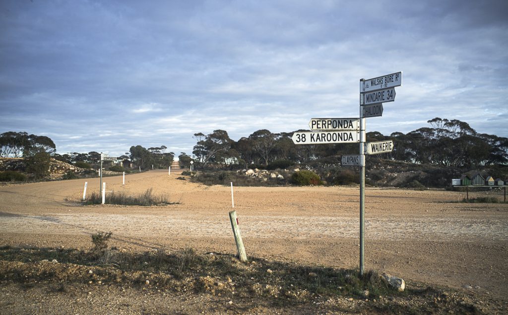
On this July trip I plan to make some colour photos of the contemporary Mallee landscape in and around around Copeville. If this is successful, I will then move onto Galga to make some back and white absent history pictures of the traces of the old Waikerie branch railway line that was closed in the closed in the 1990s due to the declining use of railways for grain transport in the region.
The Waikerie branch railway line was a spur line north from Karoonda. and it was part of the railway network built to develop the Murray Mallee in the early 20th century (1911-14). The main reason was that the wheat harvest always coincided with low water on the river, and thousands of bags of wheat would be stacked up on the wharf awaiting transport to market.
If my Galga photo session is successful I will then move north to the Goyder Highway, around the Overland Corner Hotel and the Lake Bonney region to photograph the landscape in black and white. I want to explore the absent history of the colonial Overland Stock Route. I figured that this stock route would have run near the current Lake Bonney and along the Goyder Highway before it turned south at the North West Bend. This bend is where the River Murray near Morgan turns abruptly from a westerly to a southerly course down to the township of Swan Reach.
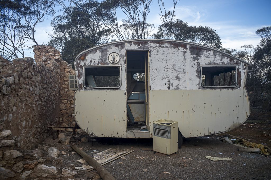
[…] made a brief return to Copeville in the Murray Mallee in 2021. It was a quick trip to pick up on what I ‘d seen on previous […]