

My interest on the March 2022 trip was to explore along the eastern edge of the mallee country in South Australia to try and connect history, environment and photography. The history had been started on the 2020 photo-trips.
Exploring the environmental aspect started with mapping out where the mallee ends at the eastern edge of the Mt Lofty Ranges. The trees in the creeks and gullys of the Mt Lofty Ranges around the St Kitts area were much larger and single stemmed eucalypts. So the mallee belonged to the Murray Plains.
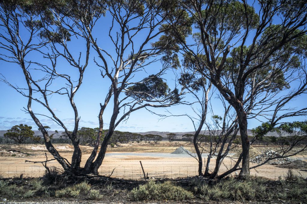
The land between the eastern Mt Lofty Ranges and the River Murray is agricultural land with the occasional small pocket of mallee scrub. The exception is the Brookfield Conservation Park on the Sturt Highway on the way to Blanchetown on what was initially leased pastoral country in the colonial settler colony prior to Federation. Large areas of this part of the Mallee country in the Murray Plains is low rainfall country and it lies north of the Goyder line. It is very dry and the northern section is grazing land.
On this photo-trip I wanted to start to find ways for a realist photography to render visible the forgotten history of settler-colonialism that has been historically unwilling to see its foundational origins as an occupation. If a realist photography is both situated in the sensory everyday world and is a mode of thinking that produces images that give rise to thinking, then it needs to address the history that has been forgotten and to interrupt the spectator’s normative ways of seeing so they can conceive the world anew.
Am I starting to stumble into deep history with little in the way of maps to guide me ?
[…] Lofty Ranges. I just didn’t know where their location was. It wasn’t until I was on a recent roadtrip in, and around, exploring the Mt Lofty Ranges that I managed to identify their […]
[…] this recent phototrip that included exploring the Mt Lofty Ranges in South Australia I came across the old railway line […]