

In a couple of days I am off on a roadtrip to Balranald in NSW for a winter photocamp with Gilbert Roe. I need to make some photos for the forthcoming exhibition at the Murray Bridge Regional Gallery in February 2019. I am squeezing the roadtrip inbetween finishing working on the photos for the SALA festival exhibition and the opening of the actual exhibition with Stuart Murdoch on the 3rd August at the Atkins Photo Lab. I have yet to work on the text or talk for the SALA exhibition but there is some background information with respect to the talk here and here.
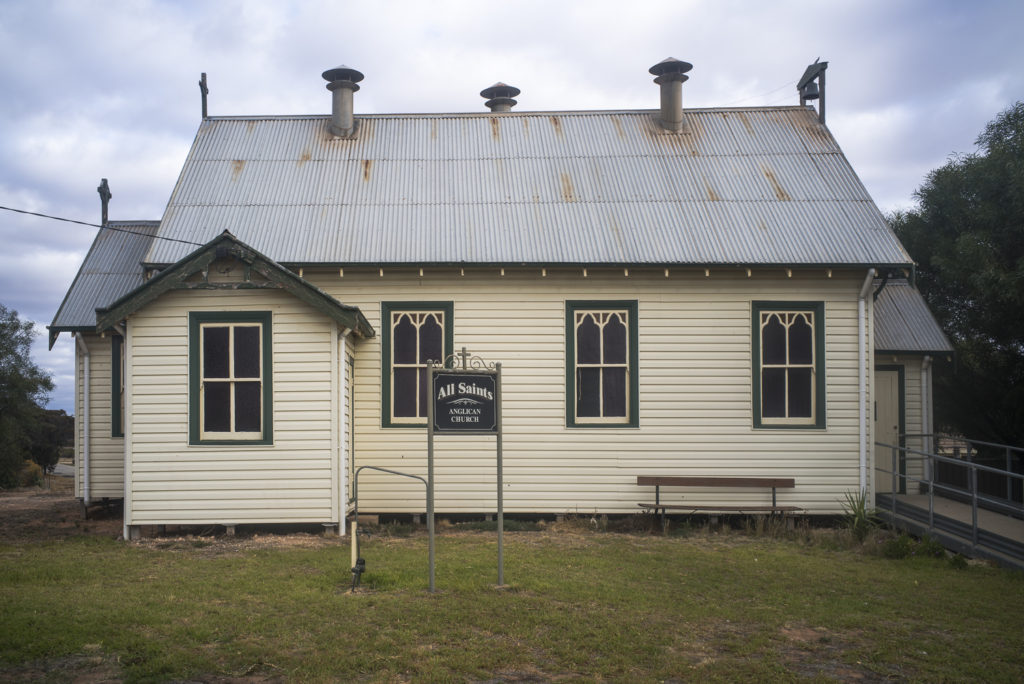
An Anglican church at West Nylah from my time at the Lake Boga photo camp in the Victorian Mallee:
I have little knowledge of the western part of the Riverina country around Balranald as I have only passed through on my way to Hay. I presume that like the Swan Hill region the Riverina is centred on irrigation, given that it is situated around the Murray and the Murrmbidgee Rivers and that it has large irrigation areas. My understanding is that the Murrumbidgee River, which is 1,600 km long, is the second largest source of water flows into the Murray-Darling system; and that it is ranked as one of the two least ecologically healthy of the 23 tributary rivers in the Basin.Presumably, this ecological state is due to the Murrumbidgee River being overused and abused, judging from the trees on the rive bank that I’d photographed along the river at Hay in 2015:
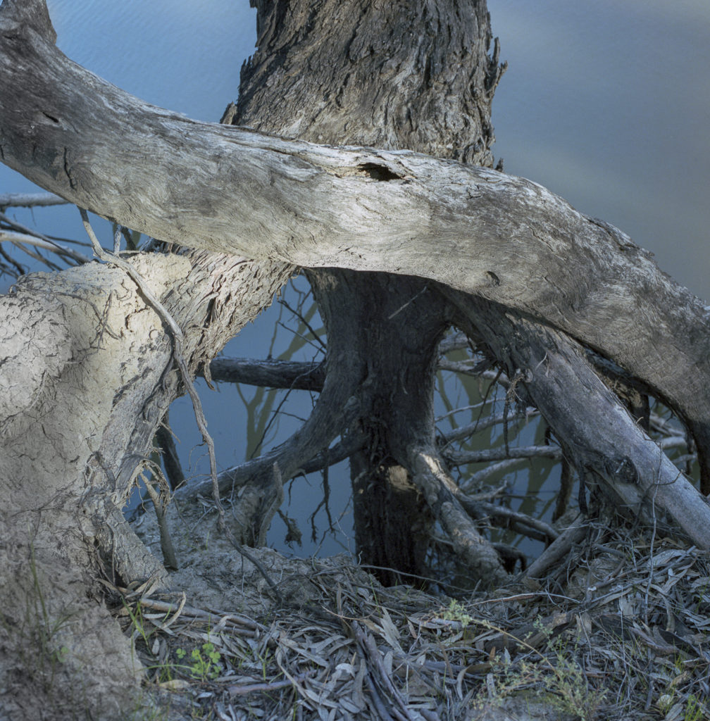
I was deeply depressed by the ecological state of the river:- it looked highly stressed in an ecological sense to me. I do know from my time working in the Senate in Canberra that there has been a history of extensive land and water mismanagement including bad farming practices that has included widespread deforestation, and significant human manipulation of the river through the construction of artificial levees and block banks along the Murrumbidgee River upstream and downstream of the choke at Chaston’s Cutting near Balranald, and the extraction of water for irrigation has resulted in the reversal of natural flow cycles and historical over allocation of water licences.
What we have is a history of states like NSW being, and still hell bent, on getting every possible scrape of water out of the river system in their respective economic zones and use it for agricultural purposes rather than see another State/region such as South Australia gain from the use of it. This attitude remains largely unaddressed under the Murray-Darling Basin Plan, and it is the primary reason for the slow progress of the Plan as some of water bureaucrats in NSW actively try and subvert the Basin Plan to their individual economic goals based around agricultural pursuits.